HeatShield
Where to put cooling relief when the city is 42 °C and one lane is 48
- Status
- Live demo
- Year
- 2026
- Rooms
- ML & Impact, Products & Web
Problem
Heat maps exist; heat action doesn't. A ward officer has four tankers and two halls and needs to know where they go.
Approach
A ~1 km vulnerability layer from open data, fused with live 24–72 h forecasts, and a greedy coverage optimiser that proposes relief points and drafts a ward advisory. Covers Pune and Ahmedabad.
Engineering decisions
- Vulnerability is an OSM-derived proxy (building density, green cover, water), weighted by population.
What it does
- Grid-cell vulnerability map
- Live forecast fusion
- Relief-site optimiser
- Drafted advisories
Stack
My part
All 12 commits in the repository are mine.
Limits, stated plainly
- The vulnerability proxy is not satellite land-surface temperature.
Evidence
- HeatShield README
Screenshots
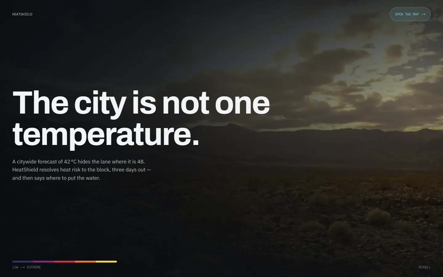
HeatShield's live landing page